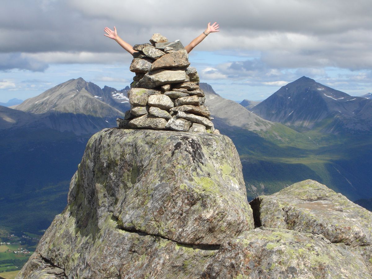
Easy and great summit hike up to a mountain that is located between Romsdalen and Venjesdalen.
Start at the parking lot at Venjedalssetra. Follow the road for a short distance and take the path to the right just before the bridge (remember to close the gate).
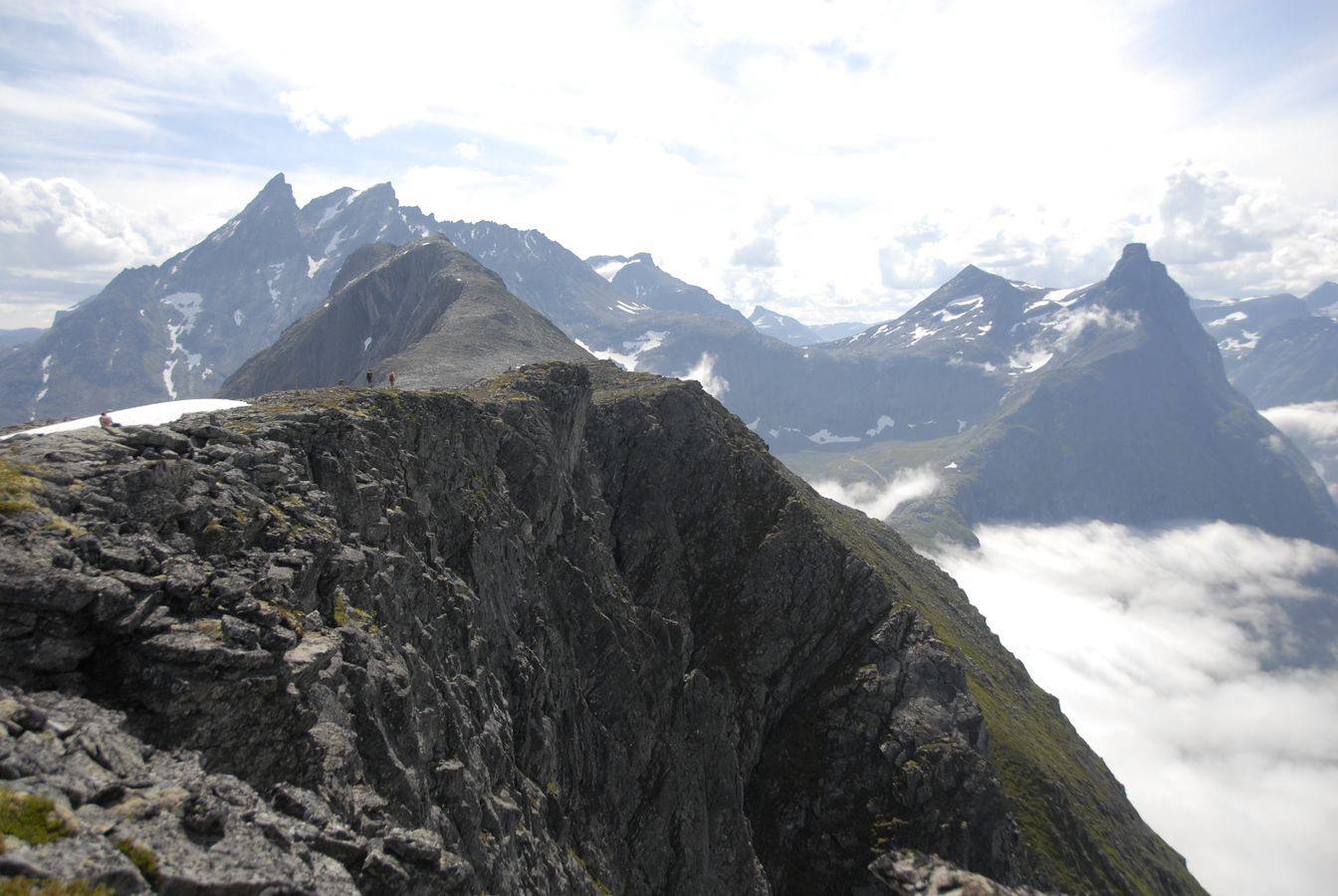
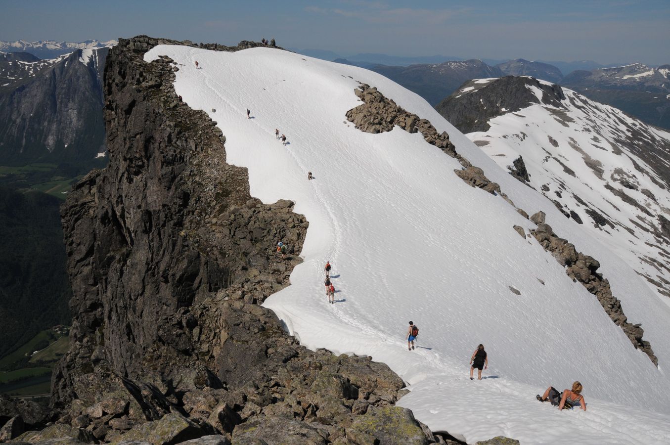
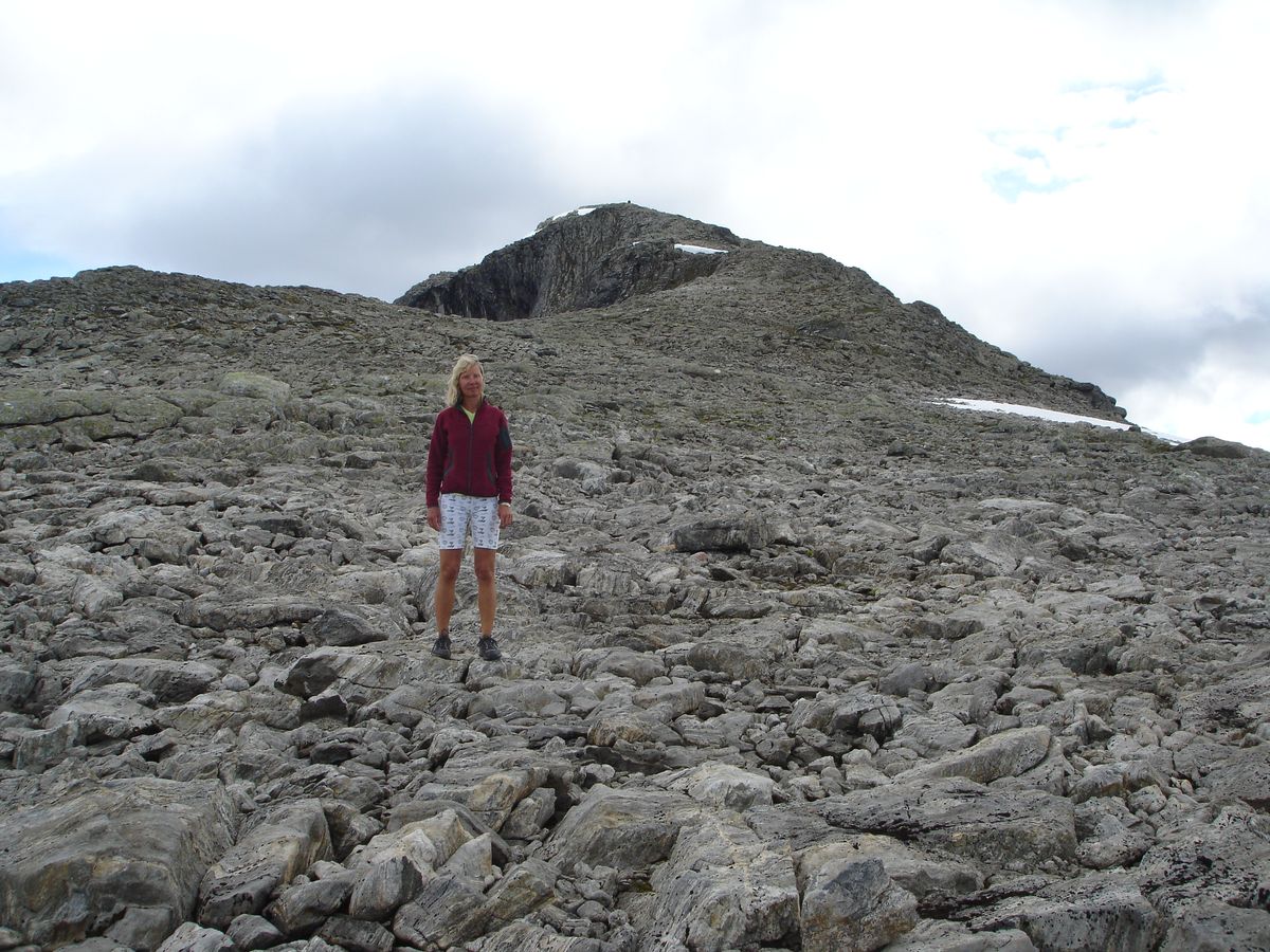
Follow the well marked trail up the slope to the right of the river. Immediately after the forest boundary, the terrain settles, and the trail goes into Hesteheian. Just before the water divide you come to a crossroads with the Romsdalseggen. Follow the path on the left steeply upwards. You then come to a signposted junction with the Romsdalseggen to the right. Follow the sign for Blånebba straight ahead after this turn left.You drop down slightly on rocky terrain then start heading uphill towards the summit, be sure to follow the cairns as in the mist it can be a bit confusing in places but there are plenty of markings.
Start at the parking lot at Venjedalssetra. Follow the road for a short distance and take the path to the right just before the bridge (remember to close the gate).
Follow the well marked trail up the slope to the right of the river. Immediately after the forest boundary, the terrain settles, and the trail goes into Hesteheian. Just before the water divide you come to a crossroads with the Romsdalseggen. Follow the path on the left steeply upwards. You then come to a signposted junction with the Romsdalseggen to the right. Follow the sign for Blånebba straight ahead after this turn left.You drop down slightly on rocky terrain then start heading uphill towards the summit, be sure to follow the cairns as in the mist it can be a bit confusing in places but there are plenty of markings.