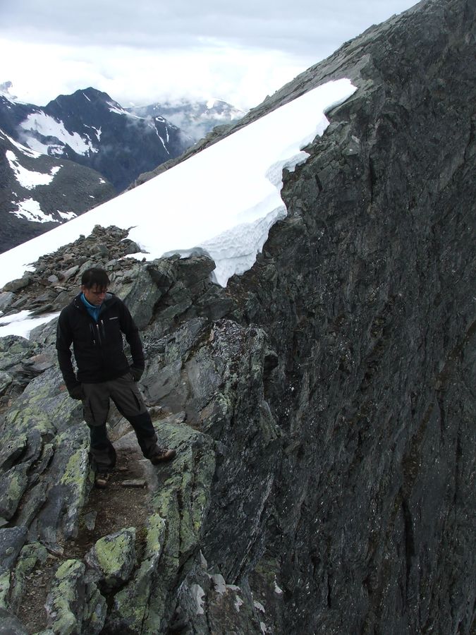
Climb to the top of the Trollveggen cliff from the back – via the Trollstigen road to Stabbeskaret. Enjoy incredible views and exposure down Troll Wall
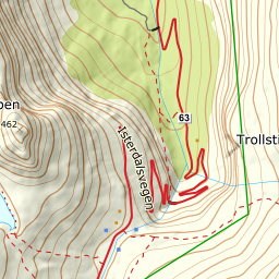
Follow the Fv 63 road from Åndalsnes towards the Trollstigen road. Enjoy experiencing the Trollstigvegen road, which was built using rudimentary tools, and was opened by Håkon VII in 1936. There are great views of the mountains Bispen, Kongen and Dronninga from the road. At the Trollstigen plateau, the Norwegian Public Roads Administration has built, in connection with its Norwegian Scenic Routes initiative, a spectacular viewpoint and a lovely restaurant and souvenir shop. Park at the facility’s car park.
Follow the footpath across the river and out towards the viewing platform. Turn right on a well-marked trail just before the footpath goes down to the viewing platform. There is a short steep section that is secured by chains and with steps. The trail then continues towards the river from Stigbotnen.
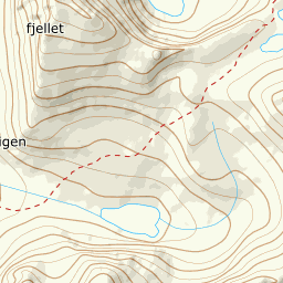
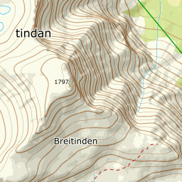
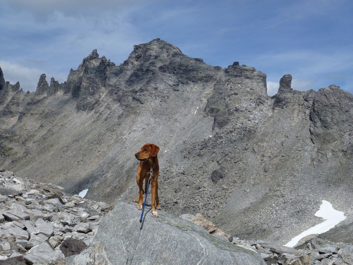
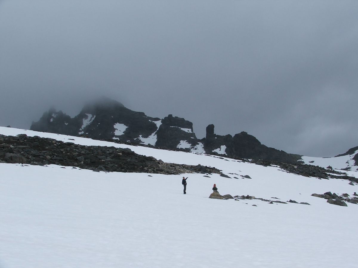
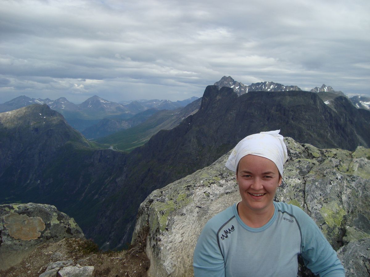
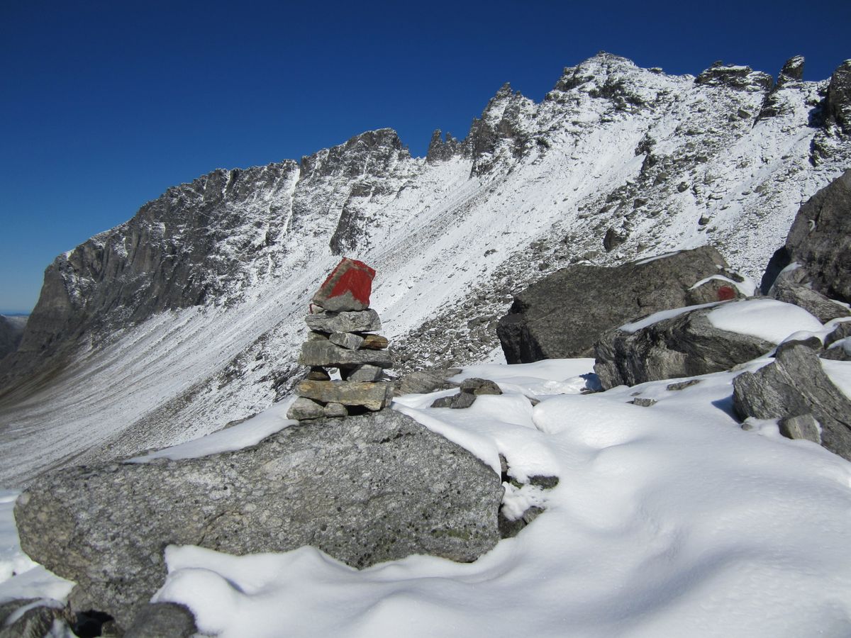
It's quite a steep ascent to the right of the river. At the top, you cross a stream coming down from Stigbotthornet. It is a good idea to fill your water bottle here. The terrain levels out somewhat, and the path is clearly marked by cairns. The path then ascends gently up and takes you into another rough steep scree slope. Follow the cairns up through the scree until the terrain levels out. Then follow the scree on until you see the back of Trolltindan. Follow the valley across an area that usually has some snow, and then the scree to the left of the glacier to Frokostplassen. Continue up the towards the saddle thats ahead of you, Stabbeskaret, where you will be rewarded with great views of Romsdalshornet and down the Romsdalen valley. This is a classic walk in Romsdalen.
